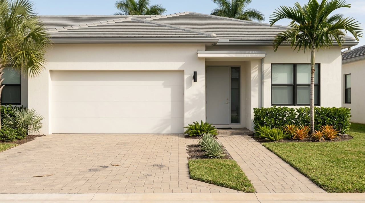
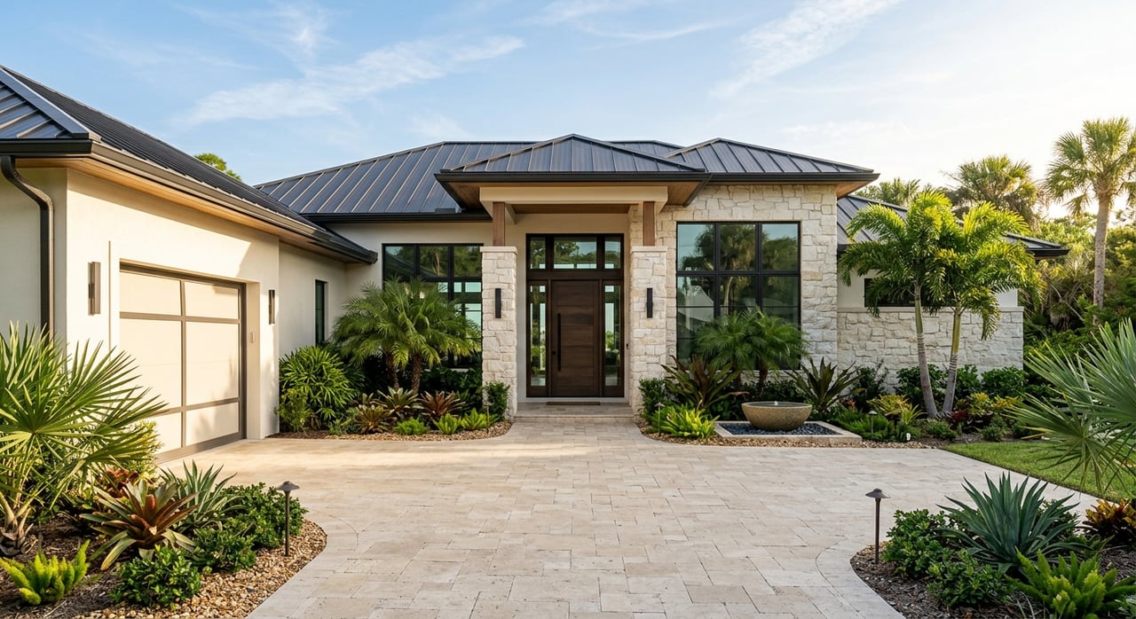
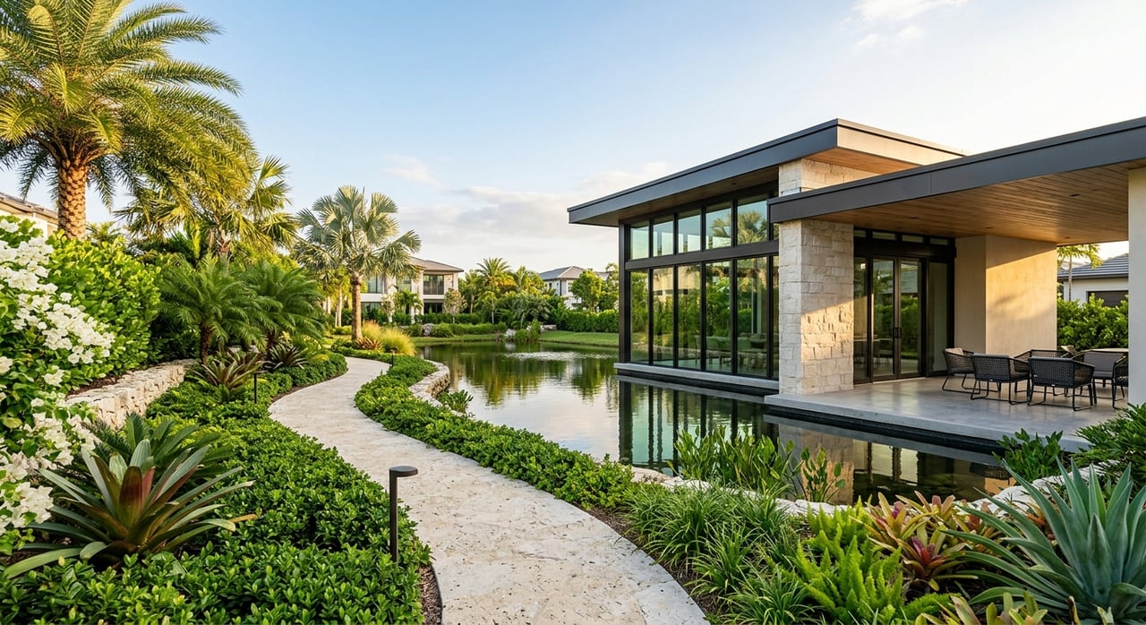
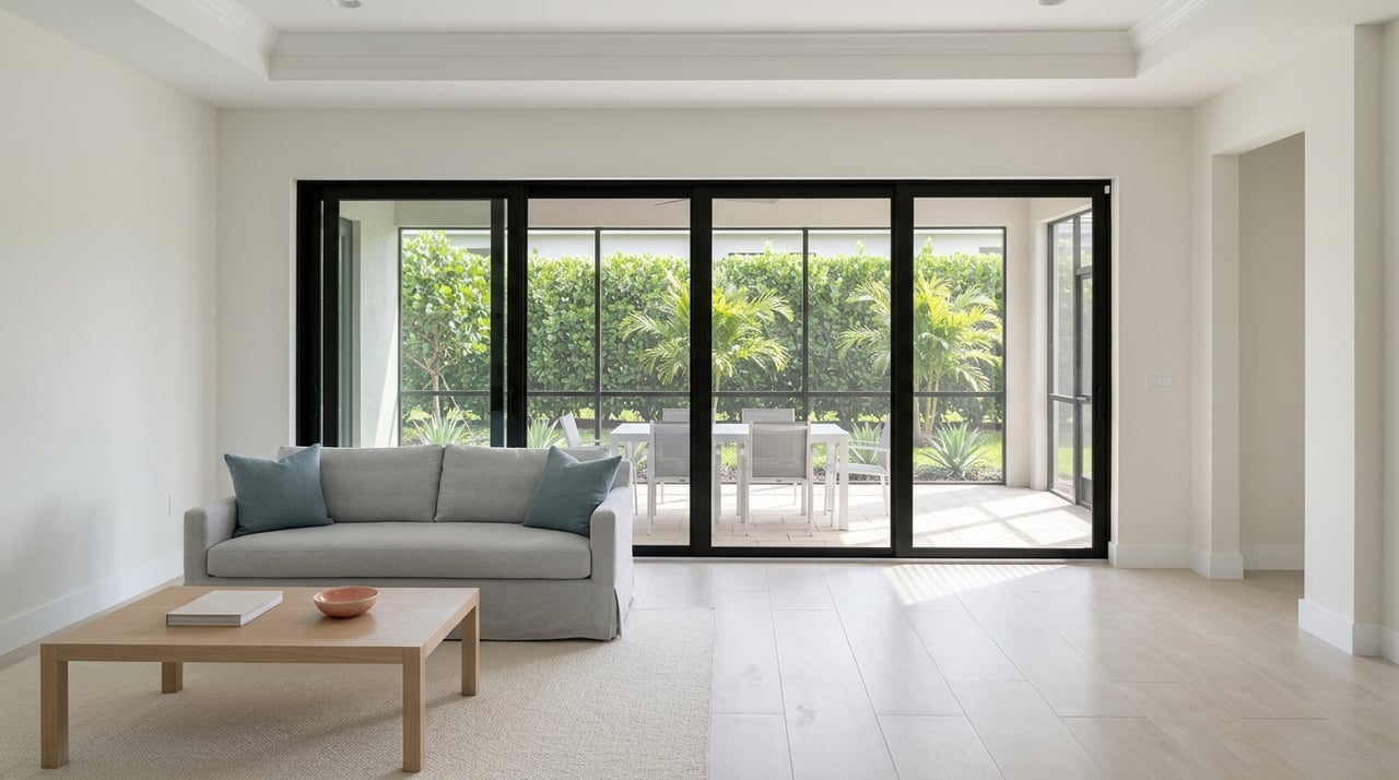
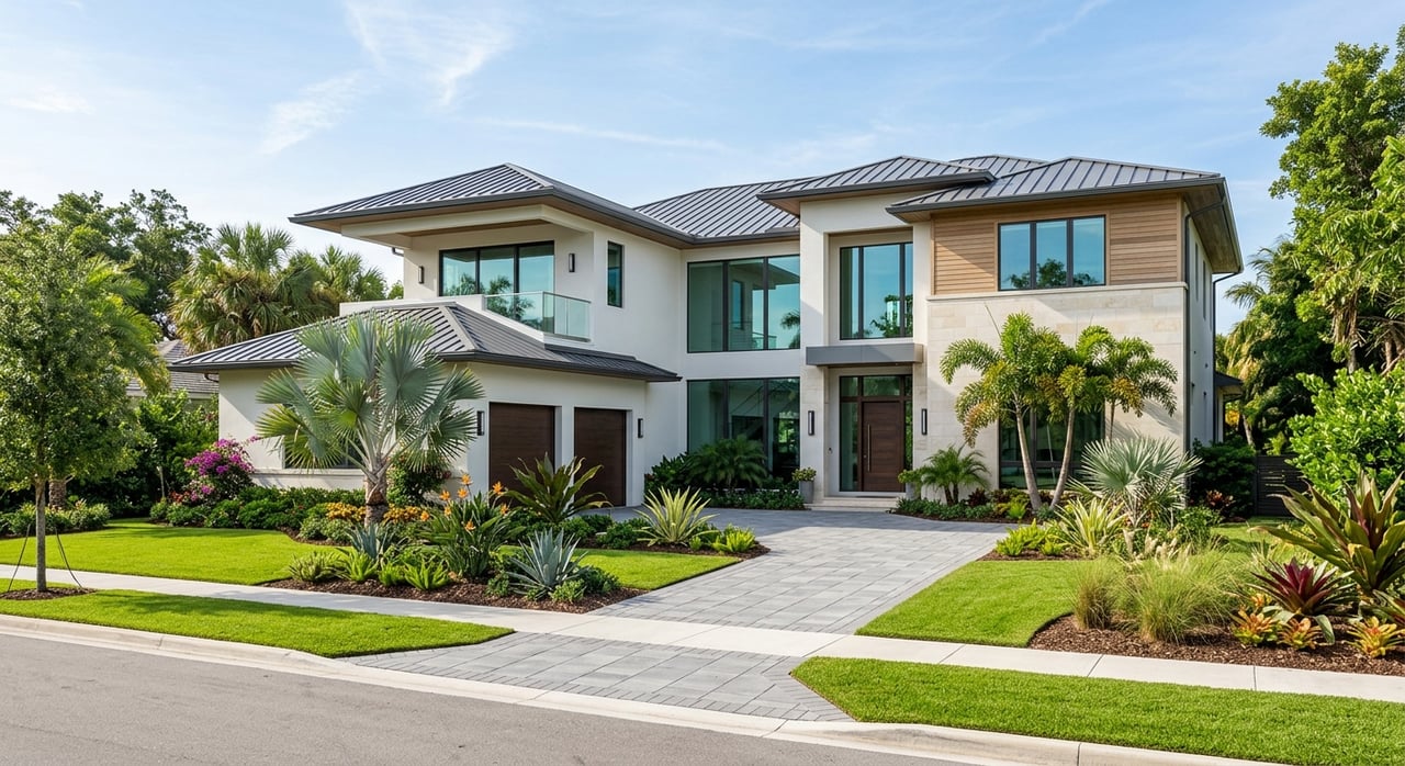
If you love to boat, Cape Coral can feel like a dream. The city is laced with an often-cited 400-plus miles of canals, but not every waterfront home offers the same path to open water. You want straightforward access that fits your boat, your routes, and your day on the water. In this guide, you’ll learn how Cape Coral’s canal system works, how to evaluate bridge clearances and depths, and how to match neighborhoods to your boat and lifestyle. Let’s dive in.
What “Gulf access” really means
When locals say “Gulf access,” they’re talking about how easily you can reach the Caloosahatchee River, Pine Island Sound, and San Carlos Bay on your way to the Gulf of Mexico. In Cape Coral, most recreational trips to the Gulf do not require passing through navigation locks. Your experience depends more on channel width and depth, no-wake zones, bridge clearances, and local shoaling that can change with storms and dredging.
For navigation planning and live depth data, use the official NOAA Chart Viewer. For temporary advisories, bridge notices, and aids to navigation updates, check the U.S. Coast Guard Local Notice to Mariners.
Canal types and how they boat
Cape Coral’s canal network falls into a few practical categories. Understanding each one will help you choose property that fits your boat and routes.
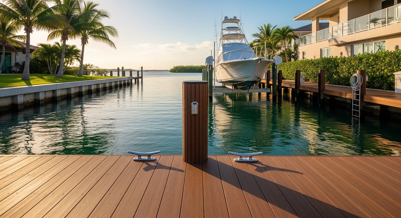
Major or primary canals
- Characteristics: Wider, deeper fairways that feed toward the Caloosahatchee River or main basins, with larger turning areas.
- What it means for you: Best for larger recreational boats and anglers. More room to maneuver and generally more tolerant of wind and wakes.
- Typical boats: Center consoles, cabin cruisers, and up to mid-size yachts, subject to bridge and berth limits.
- What to verify: Depth at mean low tide, proximity to the main fairway, dock length, and any posted no-wake rules.
Secondary or connector canals
- Characteristics: Neighborhood canals that link to the primary network, often with tighter turns and occasional shallow spots near lot ends.
- What it means for you: Good for dayboats and moderate-size powerboats. Larger boats may be limited by turning radius or shoaling.
- Typical boats: Runabouts, bay boats, and smaller cabin cruisers.
- What to verify: Turning radius at the canal end, dock orientation, and local dredging history.
Interior residential canals
- Characteristics: Narrower, more protected canals. Some are cul-de-sacs with shallower depths.
- What it means for you: Best for shallow-draft vessels and paddlesports. Practical access to open water may be limited.
- Typical boats: Kayaks, paddleboards, jon boats, shallow-draft skiffs, and small outboards.
- What to verify: Measured depth at low tide and whether the canal mouth has shoaling or restrictions.
Restricted or low-clearance canals
- Characteristics: Fixed bridges or natural overhangs create air-draft limits.
- What it means for you: Tall boats, sailboats, and high radar arches can be constrained by bridge clearances.
- Typical boats: Most center consoles and low-profile cabin boats.
- What to verify: Exact bridge vertical clearance at mean high water and your boat’s full air draft including antennas and radar.
Marinas and man-made basins
- Characteristics: Deeper basins with slips, service, fuel, and haul-out options near main channels.
- What it means for you: Reliable depth and services, with slip length, beam, and draft limits.
- What to verify: Slip policies, waitlists, fuel type availability, pump-out, and service capabilities.
Bridge clearances and air draft
In practice, fixed-bridge clearance controls more trips than locks here. If your boat has a tall profile or mast, you need to verify every bridge on your route. Start with the U.S. Coast Guard Bridge Information to confirm whether a bridge is fixed or movable, clearance values, and any operating rules. Cross-check conditions in the Local Notice to Mariners for temporary restrictions.
Tips to protect your plans:
- Measure your boat’s maximum air draft with antennas and radar included.
- Use clearance values listed at mean high water or the most restrictive datum for safety margins.
- Ask about overhead obstructions at your dock, like trees or lines that may limit air draft.
Planning your run to open water
Trip time depends on your canal location, boat speed, no-wake zones, and conditions. You’ll typically route from your canal to a primary fairway, then out to the Caloosahatchee River or Matlacha Pass and Pine Island Sound.
Use these planning guidelines as rough ranges, then verify on charts and with local marinas:
- Short runs in the sound or to nearby islands: often 10-45 minutes depending on your proximity to primary canals and speed.
- Nearshore Gulf destinations like Sanibel or Fort Myers Beach: commonly 30-90 minutes for many launch points, with wide variation by route and sea state.
- Offshore runs: plan fuel range carefully and check weather before committing.
For route planning, verify depths and aids to navigation with the NOAA Chart Viewer. Confirm any active restrictions in the Local Notice to Mariners.
Buyer checklist for Gulf-access property
Bring a boater’s mindset to your due diligence. Get written or official confirmation where possible.
- Water depth and low-water conditions
- Request soundings at the dock location at mean low water and ask for any recent survey or dredge records.
- Check city and county resources for dredging programs or updates. The City’s canal pages are a good starting point: Cape Coral Canal Maintenance. County mapping can support research: Lee County GIS.
- Dock, lift, and permitting
- Confirm permitted dock length, lift allowances, and whether your boat’s LOA and beam fit within setbacks.
- Review local permitting and historical records through City of Cape Coral permitting.
- Bridge clearances and air draft
- Obtain the official vertical clearance for each bridge on your route and compare to your measured air draft.
- Verify whether any movable bridges operate on request or on a schedule using USCG bridge information.
- Marina and service access
- Identify the nearest fuel docks, pump-out stations, and haul-out yards. Ask about diesel availability and nozzle size if needed.
- Ask managers about seasonal congestion or shoaling hot spots.
- Environmental and regulatory limits
- Confirm no-wake and manatee protection zones and any anchoring or horsepower limits. Start with FWC boating regulations.
- Discuss storm surge, flood risk, and insurance considerations for your dock and vessel with your carrier.
- Insurance and safety
- Speak with marine insurers about your boat at that specific dock or seawall.
- Identify local tow providers and emergency access points.
- Neighborhood navigation factors
- Note prevailing wind directions, wake exposure, and traffic at nearby bridge approaches.
- Talk to neighbors and marina staff about seasonal patterns and restoration projects.
- Professional checks
- Consider a pre-purchase marine survey for the vessel and a site-specific depth survey if you plan to keep a larger boat at a residential dock.
Match your boat to the right canal
Use this quick framework to align your boat and boating style with the right access category.
- You run a mid-size center console or cabin cruiser and want quick routes to the river or Pine Island Sound: prioritize property on major or primary canals near main fairways. Verify depth at mean low water and bridge clearances.
- You own a bay boat or runabout for inshore and nearshore trips: secondary canals can offer value with direct access, as long as you confirm turning radius and potential shallow spots near your dock.
- You prefer paddlesports, skiffs, and short local hops: interior residential canals can be quiet and protected. Confirm practical access through the canal mouth and any shoaling.
- You have a tall pilothouse boat or sailboat: carefully map routes against fixed-bridge clearances. Use USCG bridge data and verify at the most restrictive water level.
Estimating everyday trip times
Estimate door-to-Gulf time with three variables: distance, legal speed, and conditions. Start by measuring distance from your dock to the canal mouth and then to your target pass. Factor in neighborhood no-wake zones and any known choke points.
- A 25-knot boat leaving a primary canal will cover open stretches quickly, but no-wake zones can add predictable minutes. Plan conservatively.
- Tides and wind can affect depth and speed in the river and passes. Build buffer time for safety.
- Always confirm today’s conditions before you depart using official resources like NOAA charts and USCG notices.
Stay compliant and safe on the water
Cape Coral sits within sensitive environments and manatee protection zones. Rules and zones can change with season and restoration work. Review current guidance from FWC boating regulations and check for local notices through the City and County links above. For charted information and any updated aids to navigation, rely on the NOAA Chart Viewer.
A local partner for boaters
Choosing the right Gulf-access home is about more than views. It’s about the exact route from your dock to open water, the bridge you pass under, and the depth you tie up in. If you want a waterfront search that puts your boating lifestyle first, our locally rooted team can help you evaluate specific canals, permits, and practical travel times. Reach out to Kevin Shelly Realty when you’re ready to explore Gulf-access homes with confidence.
Ready to start your search? Connect with Kevin Shelly Realty for local guidance and on-water know-how.
FAQs
What does “direct Gulf access” mean in Cape Coral?
- It typically means you can reach open water via primary canals and the Caloosahatchee River or Pine Island Sound without passing through navigation locks. Depth, no-wake zones, and bridges still apply.
How do I check bridge clearances for my route?
Are there locks between Cape Coral canals and the Gulf?
- Routine recreational trips do not require locks. Access is via canals to the river or Matlacha Pass and then to the Gulf. Always check the Local Notice to Mariners for any temporary restrictions.
How long does it take to reach Sanibel or Fort Myers Beach?
- Many trips fall in the 30-90 minute range depending on starting point, boat speed, no-wake zones, and sea state. Plan conservatively and confirm conditions on official charts.
Where can I find canal and dredging information?